Yeranos
Overview
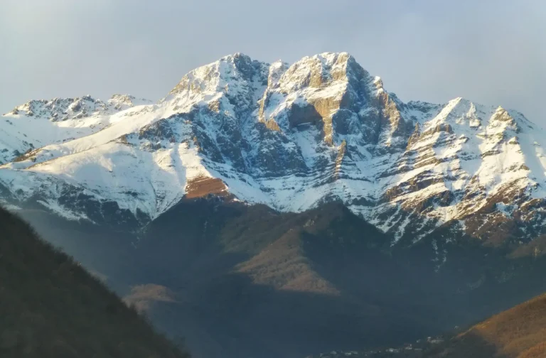
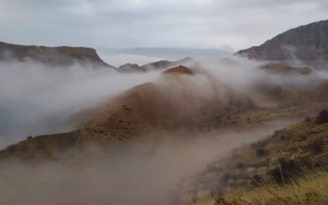
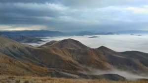
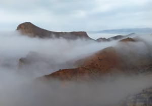
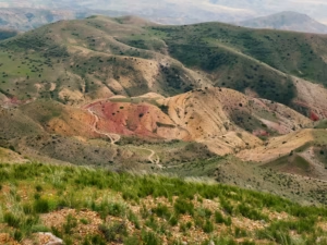
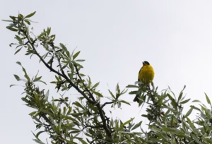
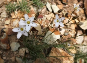
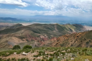
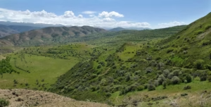
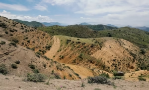
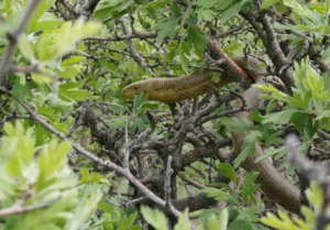
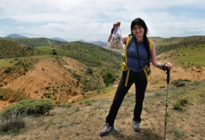
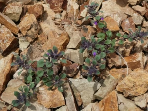
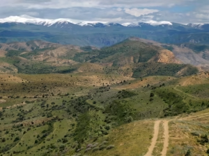
Our hike to Yeranos mountain starts from the village of Garni, on the border of the Kotayk and Ararat regions. Even though the summit is only 1824 m, the hike itself is long and requires good stamina. The route is about 20 km with 710 m elevation gain, making it a full-day adventure through open mountain landscapes.The trail passes through dry ridges and colorful hills. This area has a very unique landscape — the mountains here are layered with different shades of red, yellow and grey, creating a beautiful contrast with the sky and the wide open terrain. In spring, the slopes are covered with wildflowers, adding even more color to the landscape.
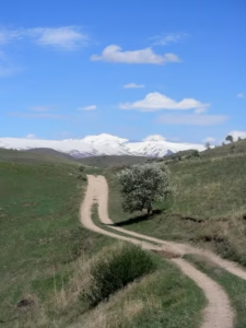
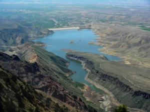
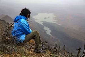
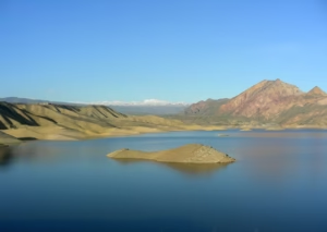
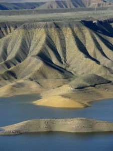
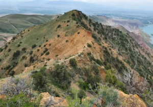
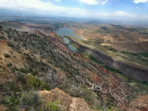
As we gain height, the views slowly open up. From the summit we can see the Azat Reservoir below and the surrounding mountains stretching far across the horizon.Because this area becomes extremely hot in summer and there is almost no shade, we organize this hike mainly in spring and autumn, when the weather is much more pleasant for a long hike.After the hike, we will visit a local family in the village and spend some time together, experiencing a bit of village life and local hospitality. It’s a nice way to finish the day in the mountains.
- Distance: 20 km
- Elevation gain: 710 m
- Highest point: 1824 m
What's Included
- Expert hiking guide
- Safety and security tips
- Route planning and navigation
- Round-trip transportation
- Insights about the region
- Meeting local residents
Ready for an Adventure?
Join our group of explorers and see Armenia from a different perspective. Custom dates and private tours are also available.